
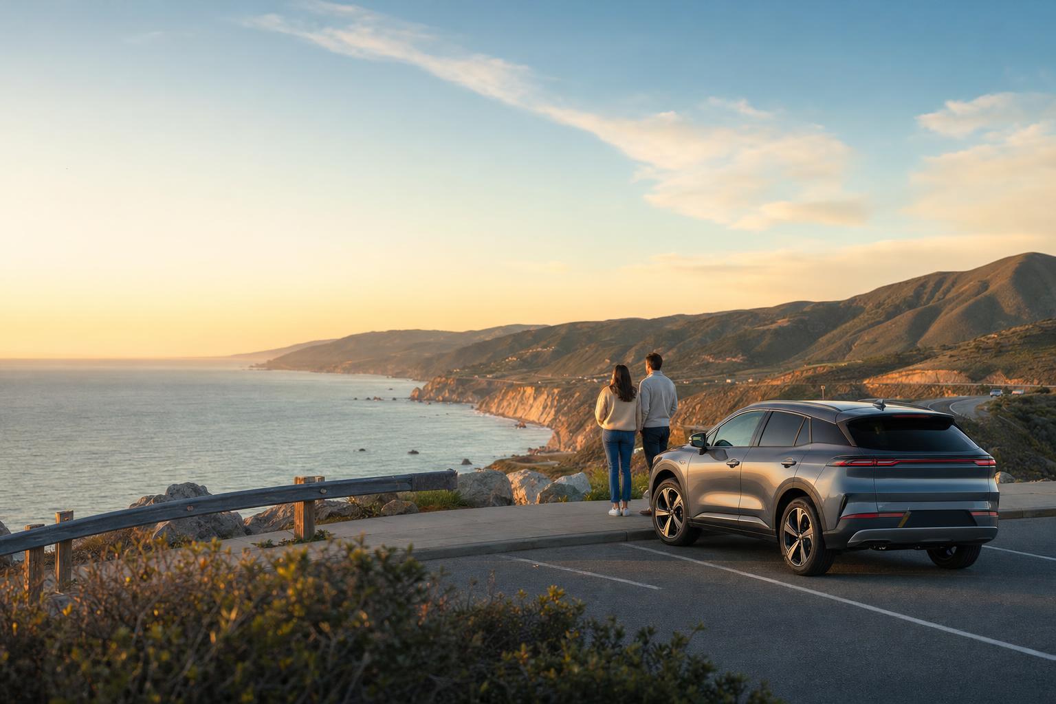
A driving route is not an excuse to turn the passenger seat into a game show. It is a sequence of places worth pulling into: an overlook, a visitor center, a trailhead, a town square, a historic site, a restaurant partner, a beach lot, or a final viewpoint that pays off the earlier chapters.
Start by choosing those parked moments, then connect them with a realistic drive. Every stop should give the traveler something to notice or do that would not make sense as a random pin in a maps list. The vehicle gets them between chapters; it is not where the checkpoint interaction lives.
- Use a small number of memorable stops instead of a long list of roadside trivia.
- Give the route a clear start, one sensible regroup or service stop, and a finish with an actual parking plan.
- Describe the route as a story-led drive or self-guided adventure—not as a traffic-aware navigation service.
This is the non-negotiable design rule. Before a scenic-drive checkpoint can be published, the route designer must identify where the vehicle can legally park or pull over, how people safely get out, and where they can stand without being in a travel lane. If there is no answer, there is no checkpoint—however dramatic the view may be.
Pathventure can hand the participant to their preferred maps app before the drive and use an arrival-aware checkpoint after they reach the intended stop. The prompt, clue, QR scan, audio, photo, or quiz appears only after the car is parked. It should never be required while someone is driving.
- Record the exact lot, street parking, visitor center, turnout, or permitted pull-over for each stop.
- Do not use a shoulder, active roadway, blind curve, private driveway, or crowded intersection as an interaction zone.
- Make the next map handoff available before departure, then keep the experience quiet until the safe arrival point.
A group may have one driver, several drivers, or a passenger who can handle the phone. The route has to be safe in all three cases. NHTSA's distracted-driving guidance is blunt: if someone needs to use a phone, they should pull over to a safe location and park first. Build that reality into the route instead of assuming a passenger will always be available.
A good route briefing tells participants what to do before they start moving: review the next stop, open the map handoff, silence nonessential notifications, and agree that the driver does not handle Pathventure tasks en route. If a passenger uses the route, that should still never pressure the driver to look at the screen.
- Use a pre-departure screen with the destination name, parking note, and any expected constraints.
- Keep prompts short and available after arrival, not as a countdown demanding attention during the drive.
- Offer a simple skip or organizer-help path for missed turns, poor signal, closures, or a stop that has become unsafe.
Driving creates an illusion that every stop is close. In reality, traffic, mountain roads, parking, roadwork, ferry schedules, weather, fuel, charging, restrooms, and daylight can radically change a route's feel. A route that only works if every transfer takes the optimistic estimate is not ready for guests.
Design the core version first. Give it a realistic duration, a clear start window, and enough slack for ordinary delays. Then make the scenic detour, the longer final view, or the extra food stop an optional branch instead of a hidden obligation.
- Check route conditions and closures close to the event date and again on the day of a hosted run.
- State where fuel, charging, bathrooms, and food are actually available; do not imply that they are everywhere.
- Plan an earlier finish for weather, traffic, or a group that needs a shorter version.
Parking lots fill. A viewpoint closes. A venue changes hours. Rain makes an exposed path a bad idea. These are not edge cases; they are the normal world outside a prototype. Every checkpoint needs a fallback that preserves the experience without asking participants to improvise risk.
The fallback can be a nearby legal lot, a skip instruction, an alternate prompt, a QR or code word at a staffed partner, or an organizer override. What it cannot be is: keep trying until the app gives up.
- Write the fallback before the route is published, not in a panicked group text afterward.
- Get permission for private venues or partner locations and respect posted rules.
- Treat a test drive near the intended time as mandatory before a public or paid launch.
For a first route, a deliberate arc beats a marathon. The goal is to leave people with a sequence they remember, not a folder of places they technically reached.
- Start: a safe, obvious meeting and briefing location.
- Chapter 2: an easy first parked reveal that proves the flow.
- Chapter 3: a scenic transfer into a real landmark or local-history moment.
- Chapter 4: a practical regroup at a permitted, comfortable stop.
- Chapter 5: the strongest viewpoint, activity, or destination payoff.
- Finish: a legal place to park, close the story, and let people leave without confusion.